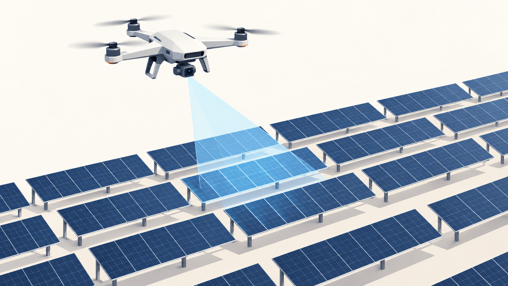
A utility-scale solar farm can hold hundreds of thousands of modules spread across hundreds of acres, and each one is a potential source of lost production. A cracked cell, a failed bypass diode, or a string that has quietly gone offline rarely shows up clearly in inverter data, but it shows up immediately in a thermal image taken from above.
That is why drone surveys have become standard practice in solar operations and maintenance. What still varies widely is how the survey gets done: who flies, how quickly a large site can be covered, how findings are tied back to a specific module, and whether the results arrive in time to act on them. Those differences decide whether a survey pays for itself or becomes another report that sits unread.
This guide compares seven drone survey solutions for solar farms, looking at how each one captures data, how it turns imagery into repairable findings, and where it fits in the life of a solar asset.
Three Ways Solar Surveys Get Done
Every solution in this list follows one of three broad operating models, and many teams combine them:
- In-house autonomous operations: the asset owner or O&M provider flies its own drones using software that automates flight planning, capture, and analysis. This supports more frequent surveys and keeps data under the operator's control.
- Service networks: a provider dispatches its own pilots or aircraft to collect data and delivers a report. This removes the need for in-house drone capability but usually means less frequent surveys scheduled around the provider's availability.
- Analytics platforms: the software processes imagery collected by the operator or a third party and manages findings, without dictating how the data is captured.
Top 7 Drone Survey Solutions for Solar Farms
1. vHive
vHive addresses the clock problem more directly than any other solution on this list. Instead of flying one drone across a large site over several days, its SolarAI software coordinates multiple drones flying autonomously in parallel. That shortens time on site and means the whole field is captured under similar sunlight conditions, which improves the consistency of thermal data across the plant. vHive received a waiver from the U.S. Federal Aviation Administration in early 2025 to conduct autonomous multi-drone solar inspections.
The platform is built around commercially available drones rather than custom aircraft, currently supporting the DJI Matrice 4 Thermal, and its patented Auto-Discovery technology automates flight planning and data capture. Because the process is autonomous, operators do not need highly specialized drone pilots, which makes it practical for owners and O&M teams to bring surveys in-house and run them far more often than an annual inspection.
The data flows into vHive SolarAI, leveraging the WorldTwinAI™ digital twin engine, where AI analytics identify power anomalies, their root causes, and their impact on power loss. Teams can move from a portfolio-wide overview down to individual modules and sub-modules to prioritize repairs, and the same platform leveraging TurbineAI hosts wind turbine inspections alongside solar, giving owners with mixed renewable portfolios one place to manage both.
Operating model: in-house autonomous operations with multi-drone capture.
Where it fits in the site lifecycle: recurring O&M surveys on operating plants, from single sites to large portfolios.
What it delivers:
- Autonomous multi-drone flights that cover large sites quickly under consistent conditions
- FAA authorization for a single pilot to manage autonomous multi-drone solar inspections in the United States
- Off-the-shelf thermal drones instead of custom hardware
- Patented Auto-Discovery for automated flight planning and capture
- Thermal and RGB data combined in a solar digital twin
- AI analysis of anomalies, root causes, and power loss impact
- Drill-down from portfolio view to individual modules and sub-modules
- Unified platform for solar and wind assets
2. Raptor Maps
Raptor Maps is one of the most widely recognized software platforms in solar operations. Its Raptor Solar platform builds a digital model of each site and turns aerial inspection data into findings mapped to the specific components where they occur, from modules and strings to combiner boxes and inverters.
Raptor Maps focuses heavily on what happens after the survey. Findings connect to workflows for technicians in the field, helping O&M teams assign, track, and verify repairs, and the platform works with data from a range of capture sources, including drone service providers and operators' own flights.
Operating model: analytics and O&M software platform, with data captured by operators or partners.
Where it fits in the site lifecycle: operating plants, particularly where findings need to feed directly into field work.
What it delivers:
- Component-level mapping of findings
- Field workflows for technicians
- Portfolio reporting across many sites
3. Zeitview
Zeitview, formerly DroneBase, operates one of the largest aerial inspection networks, providing data capture and analysis for solar, wind, and other infrastructure. For solar owners without their own drone programs, it offers a way to survey many sites across a wide geography through a single provider.
Zeitview delivers inspection results with analysis of thermal anomalies and their estimated impact, and its scale suits owners managing large, geographically dispersed portfolios that want consistent reporting across all of them.
Operating model: service network, with capture and analysis handled by the provider.
Where it fits in the site lifecycle: periodic inspections of operating plants across large portfolios.
What it delivers:
- Large pilot and aircraft network
- Thermal anomaly analysis and reporting
- Consistent coverage across dispersed portfolios
4. SenseHawk
SenseHawk, part of Reliance Industries since 2023, approaches solar from a lifecycle perspective. Its software supports site planning, construction monitoring, and operations and maintenance, with drone data feeding a digital representation of the plant at each stage.
For surveys, that continuity is useful: data captured during construction and commissioning can serve as a baseline for later O&M inspections, and thermal findings sit alongside construction and maintenance records in the same system.
Operating model: software platform spanning construction and operations, using operator or partner data.
Where it fits in the site lifecycle: from construction through commissioning and long-term O&M.
What it delivers:
- Construction progress and quality tracking
- Thermal inspection analysis for operating sites
- A single record across the asset lifecycle
5. SkyVisor
SkyVisor focuses on making drone inspections easier for in-house teams. Its software automates flight plans for solar and wind inspections using commercially available drones and applies AI to detect and classify defects in the resulting imagery.
That combination gives operators a way to build their own inspection capability without relying entirely on external providers, with automated capture reducing the level of pilot expertise required.
Operating model: in-house operations with automated single-drone capture and AI analysis.
Where it fits in the site lifecycle: routine O&M inspections run by the operator.
What it delivers:
- Automated flight planning for solar sites
- AI-based defect detection and classification
- Support for commercially available drones
6. Sitemark
Sitemark provides a solar asset management and inspection platform that brings together drone imagery, analysis, and asset data. It works with a network of service partners for data capture and supports operators who collect their own data.
Its focus is on turning inspections into structured asset information that owners and O&M teams can compare over time and use to plan maintenance across a portfolio.
Operating model: analytics platform with a partner network for capture.
Where it fits in the site lifecycle: operating plants, particularly for portfolio-level asset management.
What it delivers:
- Inspection data management and analytics
- Partner network for drone capture
- Asset records for portfolio planning
7. DroneDeploy
DroneDeploy is a general-purpose drone mapping and reality capture platform used across construction, energy, and agriculture. It supports automated flight planning, thermal mapping, and orthomosaic generation, and it offers solar-specific workflows for analyzing thermal data.
Its breadth is the main reason solar teams choose it: organizations that already use DroneDeploy for construction or other assets can extend the same platform to solar surveys rather than adopting a separate tool.
Operating model: general mapping platform for in-house capture and processing.
Where it fits in the site lifecycle: construction documentation and operating surveys for organizations using one platform across many asset types.
What it delivers:
- Automated flight planning and thermal mapping
- Solar thermal analysis workflows
- One platform across construction, energy, and other assets
From Survey to Repair: What Happens After the Flight
The value of a solar survey is realized only when a technician fixes the fault. The steps between flight and repair are where most delays occur, and they are worth mapping for any solution under consideration:
- Capture: thermal and visual imagery is collected across the site, ideally under consistent irradiance.
- Processing: imagery is stitched, georeferenced, and matched to the site layout.
- Classification: anomalies are identified and categorized, such as hot spots, bypass diode failures, string outages, or soiling.
- Localization: each finding is tied to a specific module, string, combiner, or inverter so technicians know exactly where to go.
- Prioritization: findings are ranked by their estimated effect on production so the costliest problems are addressed first.
- Repair and verification: technicians fix the issue and the next survey confirms the problem is gone.
Solutions that shorten the time between the first and last step and that make verification easy through frequent repeat surveys recover lost production faster.
How Often Should a Solar Farm Be Surveyed?
Many sites still run a single aerial survey per year, often timed to warranty or contractual requirements. That schedule can leave faults undetected for months, and the energy generation reduction they cost adds up across a large plant.
Operators are increasingly moving toward more frequent surveys, quarterly or even monthly on larger sites, along with event-driven surveys after hail, high winds, or other severe weather. The limiting factor is usually cost and logistics per survey. Operating models that reduce time on site and remove the need for specialized pilots make higher frequency inspections practical, which is one reason in-house autonomous approaches have gained ground.